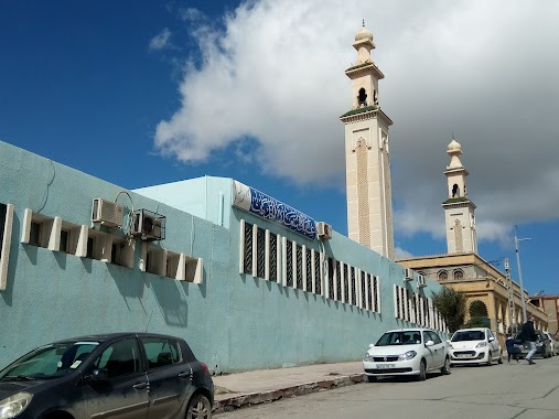
Hospital nearby مستشفى (أمراض العين و الأنف والأذن والحنجرة) سطيف
Algeria
Hospital nearby مستشفى (أمراض العين و الأنف والأذن والحنجرة) سطيف
مستشفى (أمراض العين و الأنف والأذن والحنجرة) سطيف
Rue Cheraga Laid, Sétif, DZ Algeria
contacts phone
:
+213
Latitude:
36.1880445
, Longitude:
5.4138147
larger map & directions
read more
nearest Hospital
134 m
مصحة سعادنة عبد النور لامراض الانف والحنجرة والعيون
Rue Frahta Ali, Sétif
Hospital
read more
147 m
O.r.l Setif
Rue Frahta Ali, Sétif
Hospital
read more
347 m
Cabinet Medical Dr Khoms Salima
Rue Douhil Abdelhamid, Sétif
Hospital
read more
419 m
متوسطة مليكة خرشي
Rue Sakiet Sidi Youcef, Sétif
Hospital
read more
436 m
Centre Sante Naftal
Cité Mekarni Aïssa, Nord 1, Sétif
Hospital
read more
437 m
Mahgoun Clinique
Rue Bella Ali, Setif
Hospital
read more
437 m
Mahgoun Clinical
Rue Bella Ali, Setif
Hospital
read more
727 m
مستوصف الشهيد أحمد زبانة
Rue Touhami Salah, Setif
Hospital
read more
991 m
Hospital Psychiatric Ain Abessa
Setif
Hospital
read more
991 m
Hopital Psychiatrique Ain Abessa
Sétif
Hospital
read more
991 m
Clinique Du Coeur
Rue Atoui Nouredine, Sétif
Hospital
read more
991 m
Clinical Du Coeur
Rue Atoui Nouredine, Sétif
Hospital
read more
1.031 km
Chu Saadna Abdenour De Sétif
شارع ابن سينا, Setif
Hospital
read more
1.124 km
Centre De Trasfusion Sanguine
Setif
Hospital
read more
1.126 km
Médecin Spécialiste Gastro. Dr Merahi
Setif
Hospital
read more
1.232 km
Centre Hôspitalier Setif
Sétif
Hospital
read more
1.305 km
Centre de sante tandja
Setif
Hospital
read more
1.342 km
Gastrologue Da3mouche
Setif
Hospital
read more
1.48 km
Aspetar Qatar Orthopaedic And Sports Medecine
Rue des italiens, Sétif
Hospital
read more
1.61 km
EPSP BEL AIR
Sétif
Hospital
read more
1.629 km
LABORATOIRE D'ANALYSE MEDICALES MADACI
Sétif
Hospital
read more
1.709 km
Centre De Soins Médicaux
Setif
Hospital
read more
1.716 km
Hospital Mère et Enfant
Sétif
Hospital
read more
1.74 km
Clenique Bahar
Sétif
Hospital
read more
1.967 km
Centre sante lahchama
Setif
Hospital
read more
📑
all categories
Accounting
Administrative area level 1
Airport
Amusement park
Aquarium
Art gallery
Atm
Bakery
Bank
Bar
Beauty salon
Bicycle store
Book store
Bus station
Cafe
Car dealer
Car rental
Car repair
Car wash
Cemetery
Church
City hall
Clothing store
Colloquial area
Convenience store
Courthouse
Dentist
Department store
Doctor
Electrician
Electronics store
Embassy
Establishment
Finance
Fire station
Florist
Food
Funeral home
Furniture store
Gas station
General contractor
Grocery or supermarket
Gym
Hair care
Hardware store
Health
Home goods store
Hospital
Insurance agency
Intersection
Jewelry store
Laundry
Lawyer
Library
Light rail station
Liquor store
Local government office
Locality
Lodging
Meal takeaway
Mosque
Movie rental
Movie theater
Moving company
Museum
Natural feature
Neighborhood
Night club
Painter
Park
Parking
Pet store
Pharmacy
Physiotherapist
Place of worship
Plumber
Point of interest
Police
Post office
Premise
Real estate agency
Restaurant
Roofing contractor
Route
School
Shoe store
Shopping mall
Spa
Stadium
Storage
Store
Subway station
Supermarket
Taxi stand
Train station
Transit station
Travel agency
University
Veterinary care
Zoo
administrative area level 3
sublocality level 1
↑