School nearby École Khababa Abdelouahab ابتدائية خبابة عبد الوهاب
Algeria
School nearby École Khababa Abdelouahab ابتدائية خبابة عبد الوهاب
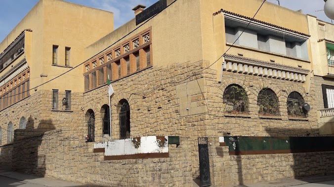
École Khababa Abdelouahab ابتدائية خبابة عبد الوهاب
Setif, Algeria
contacts phone
:
+213
Latitude:
36.1911288
, Longitude:
5.4173377
larger map & directions
read more
nearest School
113 m
Ecole Kharchi Malika
Sétif
School
read more
335 m
School Ziad
Rue Touhami Salah, Setif
School
read more
363 m
Milieu bakhoche
Setif
School
read more
402 m
C.e.m Abdeleoziz Bakhouche
Boulevard Port Said, Sétif
School
read more
425 m
Ecole
Rue Soualmi, Sétif
School
read more
430 m
Cem Safi Eddine
Setif
School
read more
452 m
School Chikh Abdou
Setif
School
read more
465 m
School Bachir Ibrahimi
Rue Bachir Ben Gouriche, Sétif
School
read more
465 m
École Cheikh Mohamed Abdou
Setif
School
read more
498 m
Ecole Belatia Abdelhomid
Setif
School
read more
513 m
Ecole Primaire Ben Yahya Cherif
Sétif
School
read more
580 m
المدرسة الابتدائية بن معيزة محمد الصغير
Sétif
School
read more
598 m
School Zenati Mekhlouf
Setif
School
read more
598 m
Ecole Zenati Mekhlouf
Sétif
School
read more
644 m
Ecole Ketfi Ismail
Sétif
School
read more
673 m
ecole ben maiza
école ben maïza Mohamed seghir, Boulevard Zaadi, Sétif
School
read more
673 m
Crèche jardin el Amir
Cité Le Caire, Sétif
School
read more
673 m
Nursery Garden El Amir
Cité Le Caire, Sétif
School
read more
673 m
CNEPD
16 RUE NEFIR AZZOUZ, Sétif
School
read more
673 m
Amira Cem
Rue Atoui Nouredine, Sétif
School
read more
847 m
La Chrysalide
Centre Ville, Setif
School
read more
905 m
Ecole Belaid Med
Sétif
School
read more
923 m
مدرسة فكرة
Les Freres Meslem Street, Setif
School
read more
1.025 km
Primary School Bouchareb Roumila
Rue Sabna, Setif
School
read more
1.097 km
CEM CHADLI LAKHDER متوسطة شادلي لخضر
Sétif
School
read more
📑
all categories
Accounting
Administrative area level 1
Airport
Amusement park
Aquarium
Art gallery
Atm
Bakery
Bank
Bar
Beauty salon
Bicycle store
Book store
Bus station
Cafe
Car dealer
Car rental
Car repair
Car wash
Cemetery
Church
City hall
Clothing store
Colloquial area
Convenience store
Courthouse
Dentist
Department store
Doctor
Electrician
Electronics store
Embassy
Establishment
Finance
Fire station
Florist
Food
Funeral home
Furniture store
Gas station
General contractor
Grocery or supermarket
Gym
Hair care
Hardware store
Health
Home goods store
Hospital
Insurance agency
Intersection
Jewelry store
Laundry
Lawyer
Library
Light rail station
Liquor store
Local government office
Locality
Lodging
Meal takeaway
Mosque
Movie rental
Movie theater
Moving company
Museum
Natural feature
Neighborhood
Night club
Painter
Park
Parking
Pet store
Pharmacy
Physiotherapist
Place of worship
Plumber
Point of interest
Police
Post office
Premise
Real estate agency
Restaurant
Roofing contractor
Route
School
Shoe store
Shopping mall
Spa
Stadium
Storage
Store
Subway station
Supermarket
Taxi stand
Train station
Transit station
Travel agency
University
Veterinary care
Zoo
administrative area level 3
sublocality level 1
↑