School nearby School Malek Bennabi ثانوية مالك بن نبي
Algeria
School nearby School Malek Bennabi ثانوية مالك بن نبي
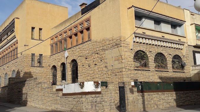
School Malek Bennabi ثانوية مالك بن نبي
Setif, Algeria
contacts phone
:
+213 790 03 72 03
Latitude:
36.2102884
, Longitude:
5.4415836
larger map & directions
read more
nearest School
195 m
Crèche Be To Be
Setif
School
read more
215 m
Autoécole MESSAI
Unnamed Road,, Setif
School
read more
339 m
CEM SAADNA LAYACHI
Setif
School
read more
357 m
Lycee Saadna Layachi
Setif
School
read more
412 m
المدرسة الإبتدائية شلالي لخضر حي حشمي
Setif
School
read more
420 m
Primary School Chelali Lakhdar ابتدائية شلالي لخضر
Setif
School
read more
429 m
Citė De L'enfance 2مركز الطفولة المسعفة
Setif
School
read more
453 m
FEA Garçon 2 Setif
Setif
School
read more
503 m
Creche Mounira
LSP HIDHAB bt n, Sétif
School
read more
996 m
CEM Med Salah Belabess
Setif
School
read more
1.772 km
OBM School
Sétif
School
read more
2.175 km
Ecole Belaid Med
Sétif
School
read more
2.229 km
Ecole baliad mohamed
Setif
School
read more
2.512 km
روضة سدرة العصافير للمتميزين (Creche Sidrat El Assafir)
Setif
School
read more
2.534 km
Ecole Primaire Ben Yahya Cherif
Sétif
School
read more
2.552 km
المدرسة الابتدائية بن معيزة محمد الصغير
Sétif
School
read more
2.58 km
École Cheikh Mohamed Abdou
Setif
School
read more
2.593 km
School Chikh Abdou
Setif
School
read more
2.75 km
School Ziad
Rue Touhami Salah, Setif
School
read more
2.974 km
C.e.m Abdeleoziz Bakhouche
Boulevard Port Said, Sétif
School
read more
3.045 km
École Khababa Abdelouahab ابتدائية خبابة عبد الوهاب
Setif
School
read more
3.143 km
Ecole
Rue Soualmi, Sétif
School
read more
3.575 km
Ecole Ketfi Ismail
Sétif
School
read more
3.869 km
La Chrysalide
Centre Ville, Setif
School
read more
3.942 km
مدرسة فكرة
Les Freres Meslem Street, Setif
School
read more
📑
all categories
Accounting
Administrative area level 1
Airport
Amusement park
Aquarium
Art gallery
Atm
Bakery
Bank
Bar
Beauty salon
Bicycle store
Book store
Bus station
Cafe
Car dealer
Car rental
Car repair
Car wash
Cemetery
Church
City hall
Clothing store
Colloquial area
Convenience store
Courthouse
Dentist
Department store
Doctor
Electrician
Electronics store
Embassy
Establishment
Finance
Fire station
Florist
Food
Funeral home
Furniture store
Gas station
General contractor
Grocery or supermarket
Gym
Hair care
Hardware store
Health
Home goods store
Hospital
Insurance agency
Intersection
Jewelry store
Laundry
Lawyer
Library
Light rail station
Liquor store
Local government office
Locality
Lodging
Meal takeaway
Mosque
Movie rental
Movie theater
Moving company
Museum
Natural feature
Neighborhood
Night club
Painter
Park
Parking
Pet store
Pharmacy
Physiotherapist
Place of worship
Plumber
Point of interest
Police
Post office
Premise
Real estate agency
Restaurant
Roofing contractor
Route
School
Shoe store
Shopping mall
Spa
Stadium
Storage
Store
Subway station
Supermarket
Taxi stand
Train station
Transit station
Travel agency
University
Veterinary care
Zoo
administrative area level 3
sublocality level 1
↑